MEASURING THE CAPACITY OF LAKE MEAD
In 1935, the BOR and Soil Conservation Service undertook a mapping program to calculate the storage capacity of the nearly formed Lake Mead. As water began to back up behind the dam, surveyors recorded measurements of the ground surface based on stereoscopic aerial photographs and water soundings (Brown 1941). This study produced calculations of an estimated capacity of over 31 million acre-feet of water at an elevation of 1,221.4 feet. Since 1935, sedimentation has decreased the capacity of the reservoir and a number of subsequent studies have been carried out to determine its current storage capacity as well as to model the lake’s economic life into the future. Subsequent ground surface measurements include bathymetric studies conducted from 1948 to 1949,1963 to 1964, and in 2001. In late 2009, BOR acquired LiDAR (combination of Light and Radar) data for elevations of emerging shorelines, which was meant to complement 2001 side-scan sonar data. The LiDAR and sonar data, which cover elevations of the ground surface at and below 1,230 feet elevation, have been obtained by Lake Mead NRA from BOR under a data sharing agreement and used to estimate lake capacity. SOURCE: NPS.GOVRead more at: 8NewsNow.com


King Charles III supports the Great Reset agenda
By Mary Villareal // Share

By Mary Villareal // Share

The stage is being set for a massive global rice shortage
By News Editors // Share

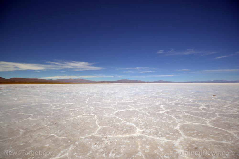
Drought COMPLETELY dries up largest permanent lagoon in Spain’s Andalucia region
By Kevin Hughes // Share

China approves AEROSOL-based covid vaccine – will they start spraying it like chemtrails?
By Ethan Huff // Share

Trump Imposes Double-Digit Tariffs on 60 Countries Over Forced Labor Concerns
By sterlingashworth // Share

Trump Faces Criticism Over Iran War Death Comments
By garrisonvance // Share

Pakistan Warns of Military Response to Yemeni Blockade in Red Sea
By garrisonvance // Share
U.S.-Saudi Nuclear Deal Faces Swift Backlash Over Enrichment Provisions
By garrisonvance // Share

U.K. Withdraws Diplomatic Staff from Iran as U.S. Airstrikes Continue
By garrisonvance // Share

Dubai Offers Residents Rewards to Attract Visitors as Tourist Numbers Plummet Amid War
By garrisonvance // Share