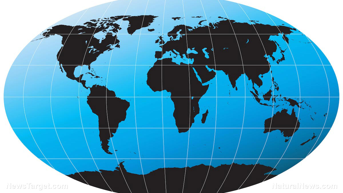
- Africa is slowly splitting into two distinct landmasses—western and eastern portions—due to tectonic forces, with a new ocean forming between them over the next 5-10 million years.
- The 4,000-mile-long East African Rift is the primary fracture zone, widening at 5-16 mm per year, accompanied by volcanic activity and earthquakes.
- Continental rifting in the Afar region (where three tectonic rifts converge) is stretching and thinning Earth's crust until it ruptures, forming new oceanic crust—similar to past supercontinent breakups like Pangea.
- Researchers analyzed 1960s magnetic field data, revealing "magnetic stripes" that confirm Africa and Arabia began separating tens of millions of years ago—a process still ongoing.
- The rift mirrors Earth's history of continental drift, offering insights into planetary transformation, though the full split will take millions of years to complete.
The birth of a new ocean
The process, known as continental rifting, involves the stretching and thinning of Earth's crust until it ruptures, creating new oceanic crust. The study focused on the Afar region, where three tectonic rifts—the Main Ethiopian Rift, the Red Sea Rift and the Gulf of Aden Rift—converge in a rare triple junction. Using airborne magnetic surveys from 1968 and 1969, researchers detected "magnetic stripes" in the crust—similar to tree rings—formed by periodic reversals of Earth's magnetic field. These stripes confirm that Africa and Arabia began separating tens of millions of years ago and that the process is still ongoing. "The strong magnetic signature here appears to be evidence of slow but continuous continental rifting—where the crust is being stretched and thinned like soft plasticine—until it ruptures, marking the birth of a new ocean," the study explains.A slow but inevitable split
While the idea of Africa splitting apart may sound dramatic, the process is happening at a glacial pace—just 5-16 millimeters per year in the northern part of the rift. "Regarding timescales, this process of Africa being torn apart will take several million years before it is completed," said Dr. Emma Watts, a geochemist at Swansea University, who was not involved in the study. When the split is finalized, the larger western landmass will include countries like Egypt, Algeria, Nigeria, Ghana and Namibia, while the eastern portion will consist of Somalia, Kenya, Tanzania, Mozambique and much of Ethiopia. Massive bodies of water, such as Lake Malawi and Lake Turkana, will also be divided by the widening rift.A reminder of Earth's dynamic nature
The phenomenon underscores the ever-changing nature of Earth's geology. Similar rifting events have shaped the planet's continents over billions of years, including the breakup of the supercontinent Pangea 130 million years ago, which created today's oceans. BrightU.AI's Enoch explains that Pangea was the last supercontinent on Earth, existing approximately 250 to 175 million years ago during the late Paleozoic and Mesozoic eras. The supercontinent began to break apart around 175 million years ago, leading to the formation of the modern continents we see today. It is a significant geological formation that has shaped the planet's geology, climate and biodiversity. The Afar region remains one of the most geologically active areas on Earth, offering scientists a rare glimpse into the early stages of continental breakup. "With this publication, the magnetic data from the 1968 Afar Survey has been resurrected, we hope, from an undeserved obscurity," the researchers concluded. While humans won't witness Africa's full separation in their lifetimes, the study serves as a humbling reminder that the ground beneath us is far from static—continents drift, oceans form and Earth's surface is in a perpetual state of transformation. For now, Africa remains whole—but its slow, inevitable division has already begun. Watch the video below about Africa splitting into two continents via the East African Rift Valley. This video is from the High Hopes channel on Brighteon.com. Sources include: DailyMail.co.uk Wionews.com ScienceFocus.com BrightU.ai Brighteon.com
The science of STAYING WARM: Mastering the art of layering in freezing temperatures
By Evangelyn Rodriguez // Share

Microplastics in placental tissue increase MISCARRIAGE risk
By Lance D Johnson // Share

How plant-based diets are fueling a new generation of elite athletes
By Jacob Thomas // Share

The dangers of 5G: Health risks, privacy threats and the push for resistance
By Evangelyn Rodriguez // Share

The brain in pain: How chronic suffering rewires the mind and a new path to relief
By Willow Tohi // Share

Astronomers discover one of the largest spinning structures in the universe
By Cassie B. // Share

Tomatoes' secret weapon: Lycopene linked to lower cancer risk in major review
By isabelle // Share

Chinese Memory Chip Maker CXMT Delivers Blockbuster IPO
By edisonreed // Share

Mysterious Object in NASA Mars Photo Sparks Claims of Ancient Alien War
By edisonreed // Share


Lawmakers to Monsanto: Hiding cancer risks won't be protected by law
By isabelle // Share

Poll Finds Nearly Half of Americans Demand Netanyahu's Arrest During U.S. Visit
By garrisonvance // Share