- Another surge of Arctic air is expected across much of the U.S. this weekend, bringing freezing temperatures, heavy snow and potential rare snowfall along the Gulf Coast and Florida.
- The Arctic air may collide with a low-pressure system moving across the Southern Plains, potentially intensifying into a "bomb cyclone" capable of heavy snow, strong winds and dangerous travel conditions along the East Coast.
- Significant snow is forecast for the Appalachians, Carolinas, Virginia and the I-95 corridor, with daily record low temperatures expected in the Ohio Valley and Mid-Atlantic.
- Cold air moving over the warmer Gulf of Mexico could produce Gulf-effect snow along Florida's west coast, including Tampa Bay, with freeze warnings issued across most of the peninsula.
- Since Jan. 26, millions have experienced snow, ice, and freezing rain from New Mexico to Maine, leading to states of emergency in a dozen states, school closures, flight disruptions and over one million power outages, with nonprofit groups assisting affected communities.
Arctic blast leaves millions without power
Since Jan. 26, the NWS has tracked widespread winter impacts stretching from New Mexico through the Mississippi Valley and Appalachian Mountains to Maine. In some areas, snowfall totals reached several feet, while states farther south endured freezing rain and ice, prompting ice storm warnings across much of the Southeast. Ahead of the storm, governors in roughly a dozen states declared states of emergency. The extreme conditions led to widespread disruptions, with schools closed for days, thousands of flights delayed or canceled and more than one million customers losing electricity across multiple states. Power outages remain a concern in parts of the South and Midwest. PowerOutage.com revealed that hundreds of thousands of residents in Texas, Louisiana, Mississippi, Tennessee and Kentucky were still without power as of midweek, leaving many vulnerable to dangerously cold temperatures. Nonprofit organizations have even mobilized to assist affected communities. Groups, including the United Cajun Navy, have been delivering warm clothing, hot meals and essential supplies to people without power from Mississippi to Ohio. The NWS has urged residents in impacted areas to take precautions as cold conditions persist. "Cover up if you are outside, ensure pets and animals have protection from the cold and continue to mitigate against frozen pipes," the agency advised. Forecasters have warned that the prolonged nature of the cold could make this one of the most severe winter stretches in decades, with additional Arctic air expected to reinforce frigid conditions in the days ahead. Watch the podcast below that talks about the deadly ice storm in Texas that caused power outages and canceled flights. This video is from the Evolutionary Energy Arts channel on Brighteon.com. Sources include: TheEpochTimes.com Weather.gov WPC.NCEP.NOAA.gov BrightU.ai Brighteon.com
“Maximum pressure” backfires? U.S. sanctions crush Iran’s economy, fuel protests – but at what cost?
By Belle Carter // Share
AI bubble fears spark sell-off as tech giants face investor backlash
By Kevin Hughes // Share

Silenced No More: The First Amendment under fire
By Ramon Tomey // Share

Silent Saboteurs: The Top 10 Everyday Foods Fueling Inflammation and Chronic Disease
By Coco Somers // Share

White House denies plans for ICE polling place presence but leaves door open
By Belle Carter // Share


"The Human Shutdown" on BrightU: The lost art of grounding and the 50% energy crisis
By bellecarter // Share
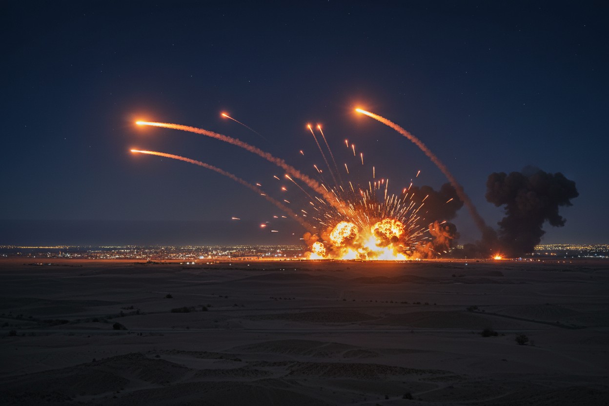
Iranian Missiles Strike U.S. Military Sites in Jordan's Aqaba
By garrisonvance // Share

FCC Proposes Ban on Imports of Foreign Military-Grade Drones Citing National Security Risks
By chasecodewell // Share

Financial Times: China Mulls Tighter Export Controls on AI Models and Chips
By chasecodewell // Share